Tour of the Cotswolds
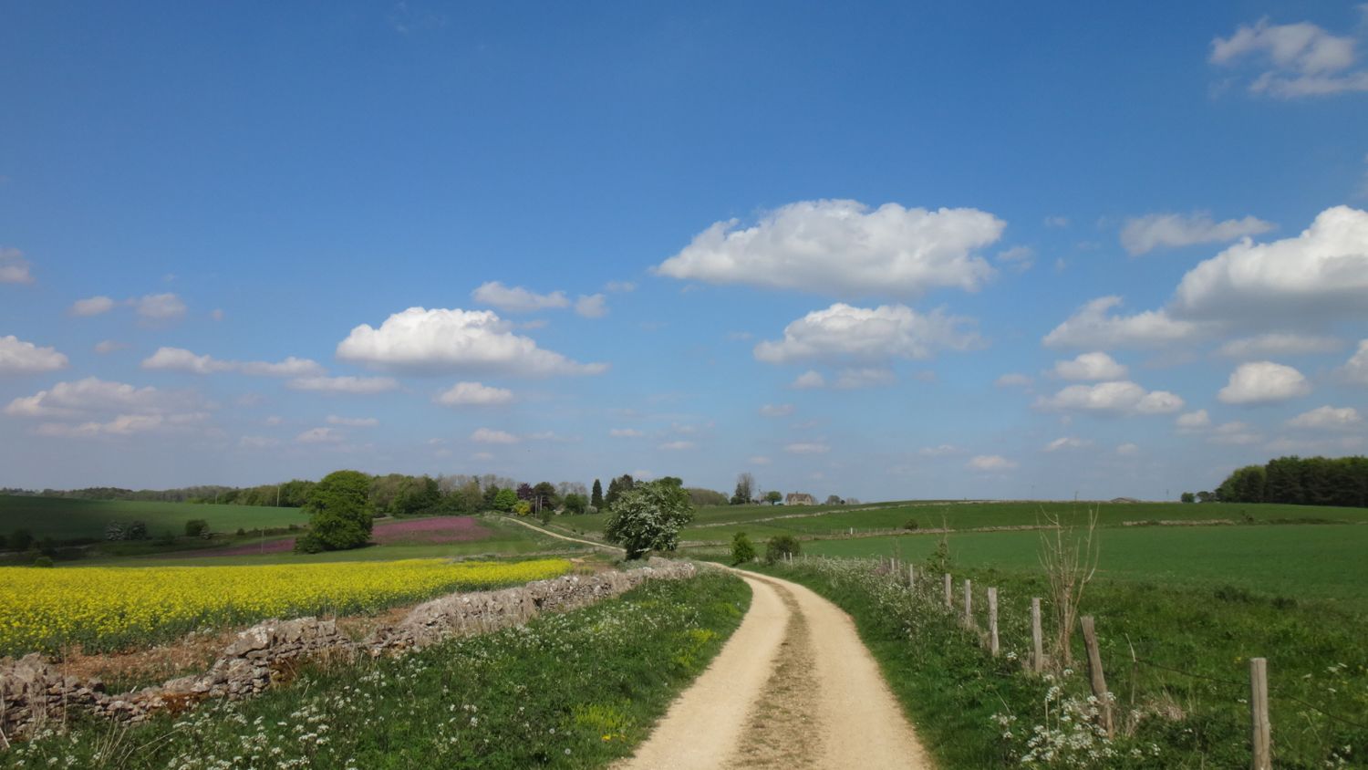
This 400km (250 mile) bikepacking route showcases the beauty of the Cotswolds with a challenging and picturesque mixed terrain route.
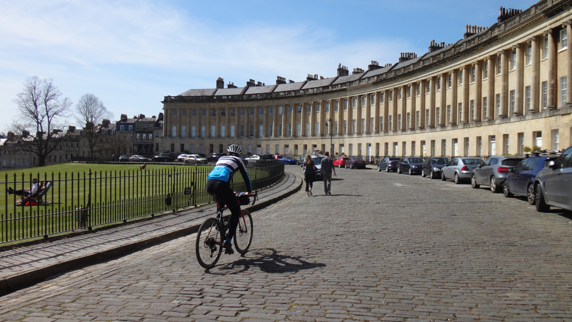
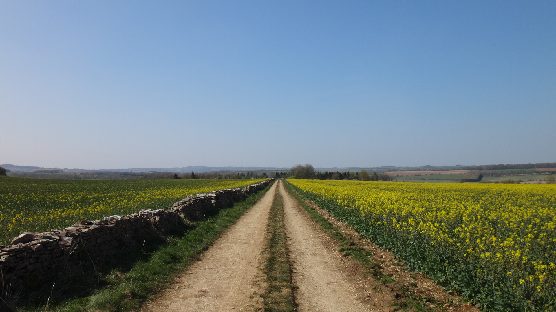
Officially starting and finishing in Bath in the far south of the Cotswolds, the route roughly follows the Cotswold Way walking route all the way to Chipping Campden in the north. It then heads south down the eastern side taking in the Windrush and Coln valleys before tracing the Fosse Way to Castle Combe. In addition to the beautiful rolling countryside, it visits many of the chocolate-box villages made from local stone making this a visually stunning cycle tour. Throw in the many bridleways and byways that criss-cross it and you have an ideal combination for an all-road adventure with endless delights around every corner.
Route
The route can be tackled in one big loop in either direction in around 3 to 7 days depending on your level of fitness/tourist activities. Alternatively, you can pick up the route anywhere with good transport links like Stroud, Cheltenham, Kingham, Charlbury and Kemble. You can also ride the northern and southern sections separately, joining them through Withington in the middle.
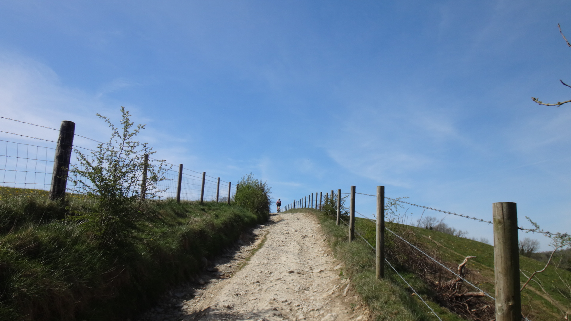
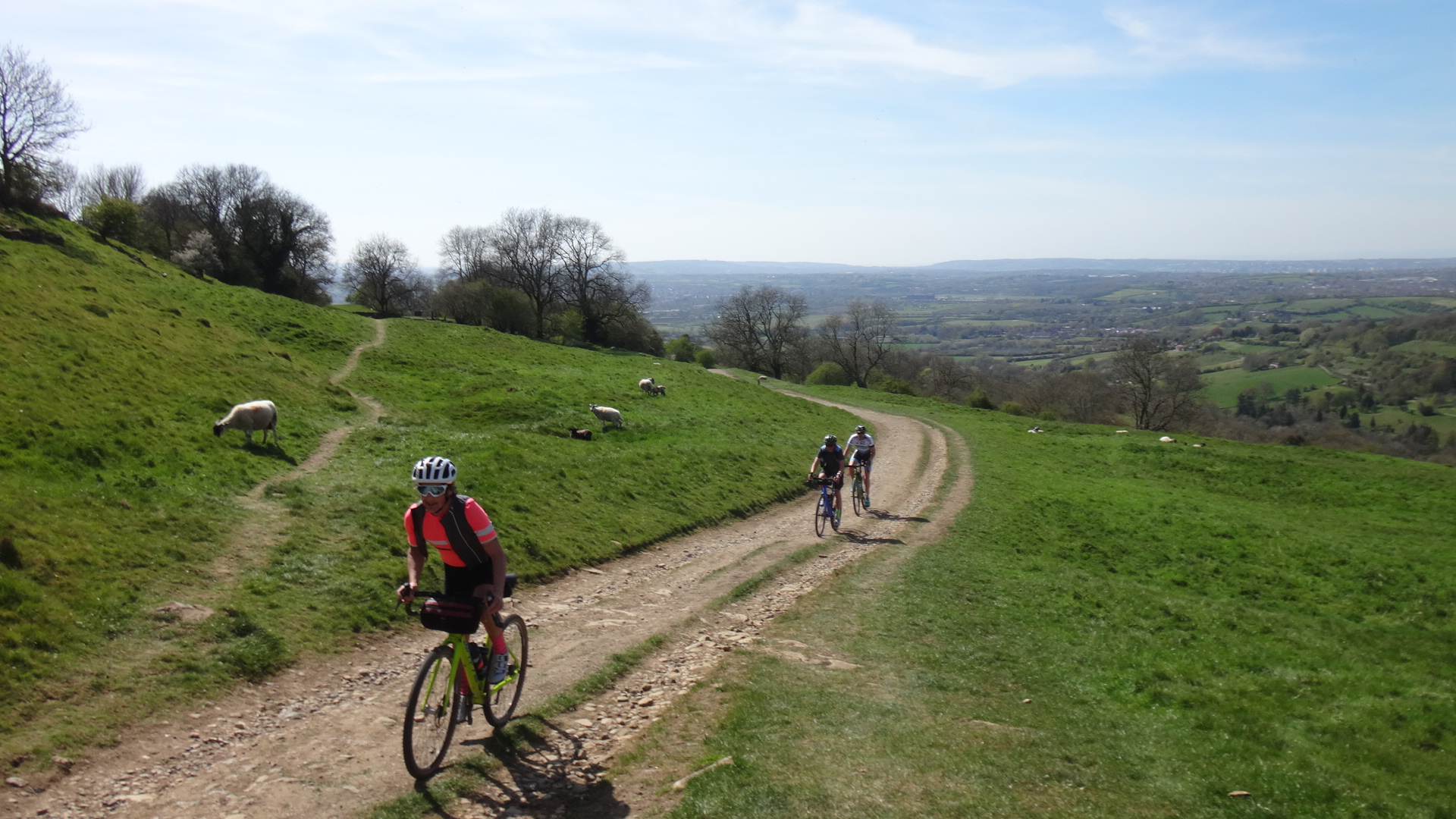
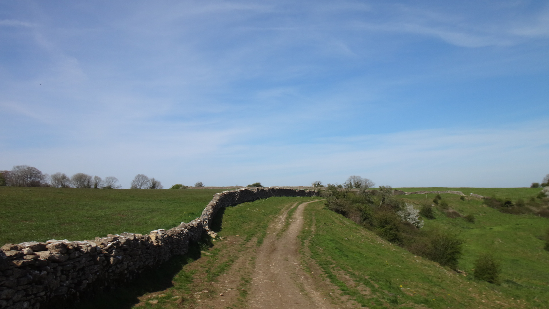
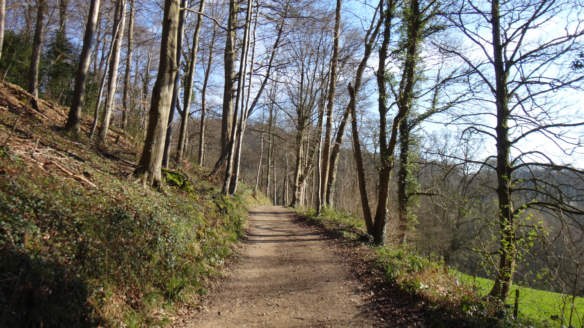
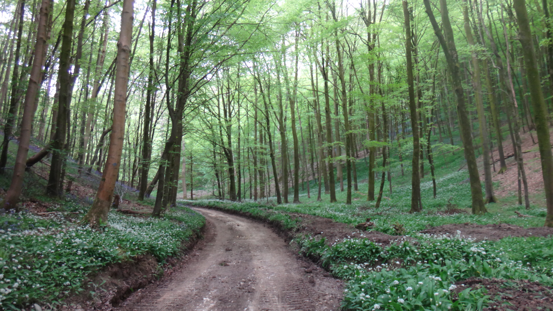
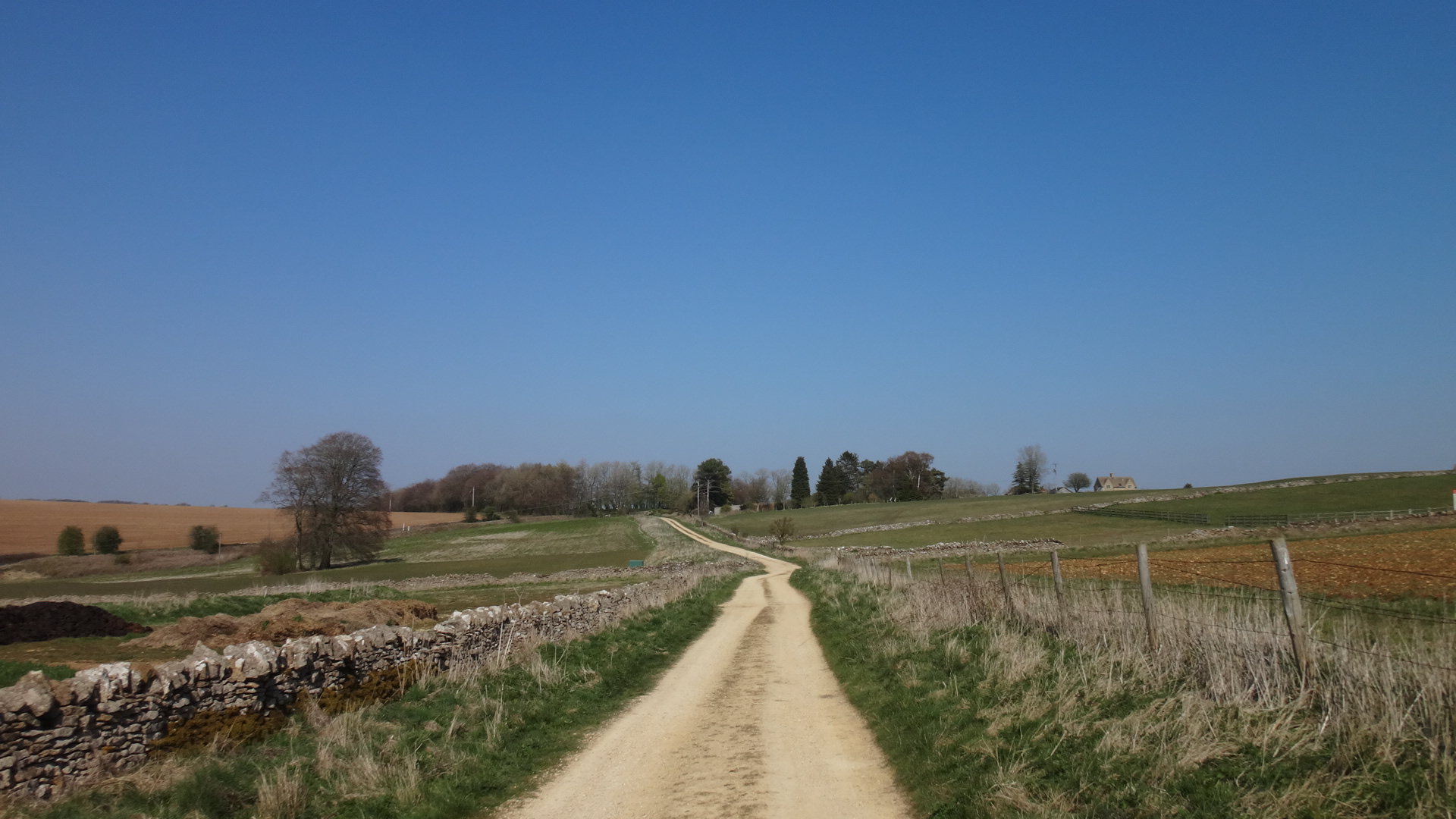
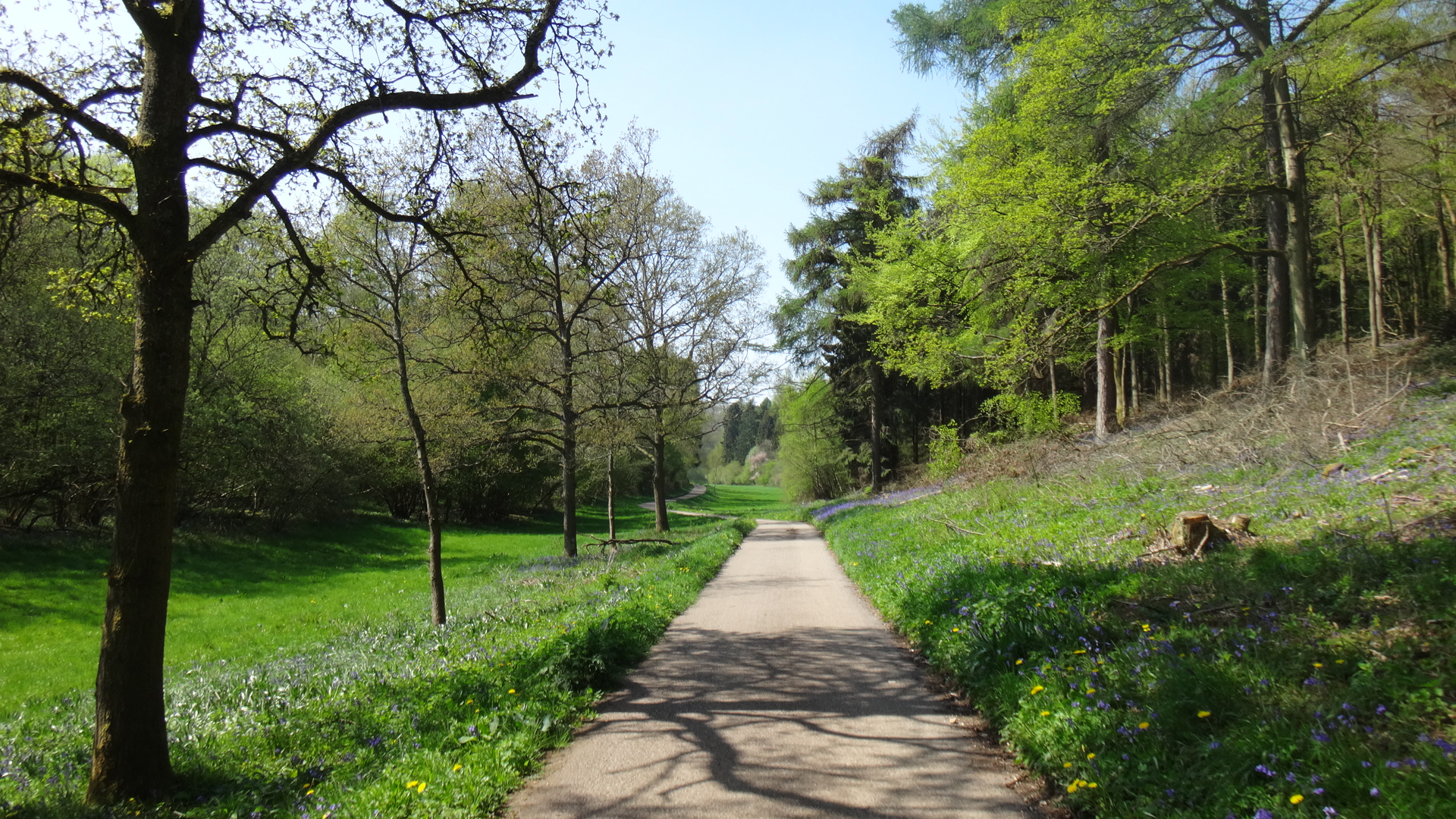
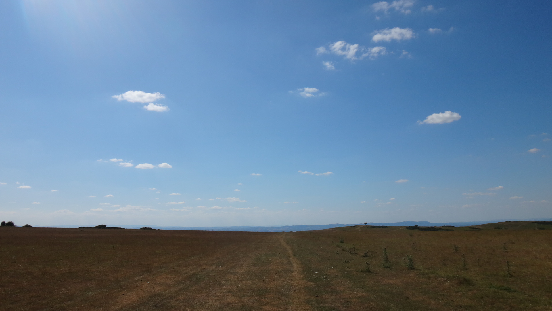
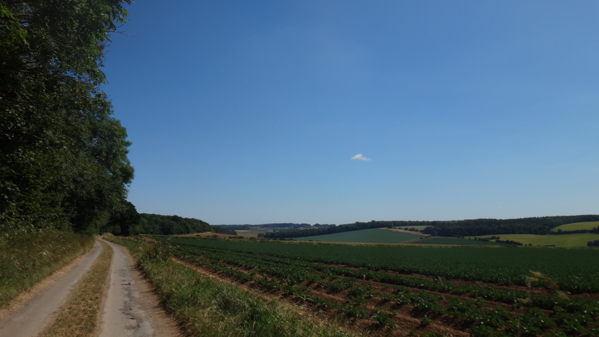
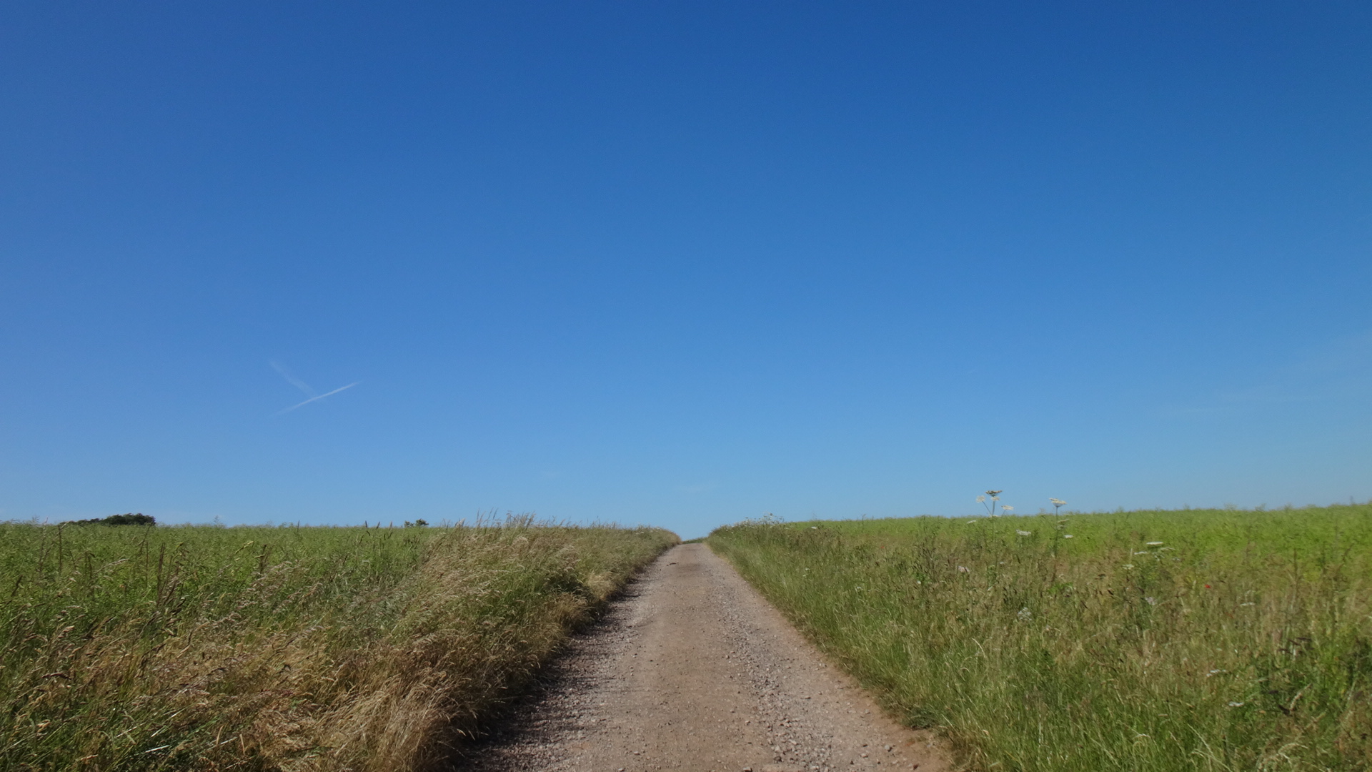
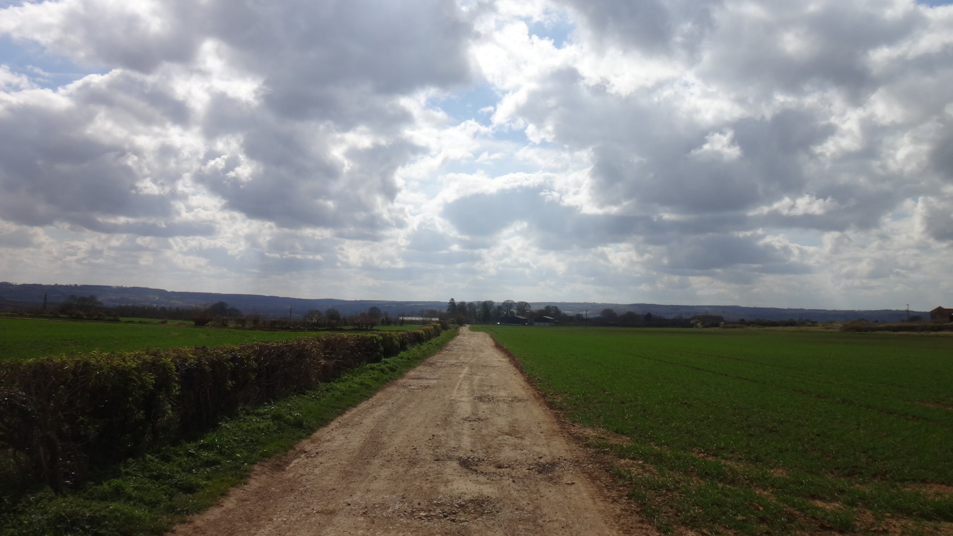
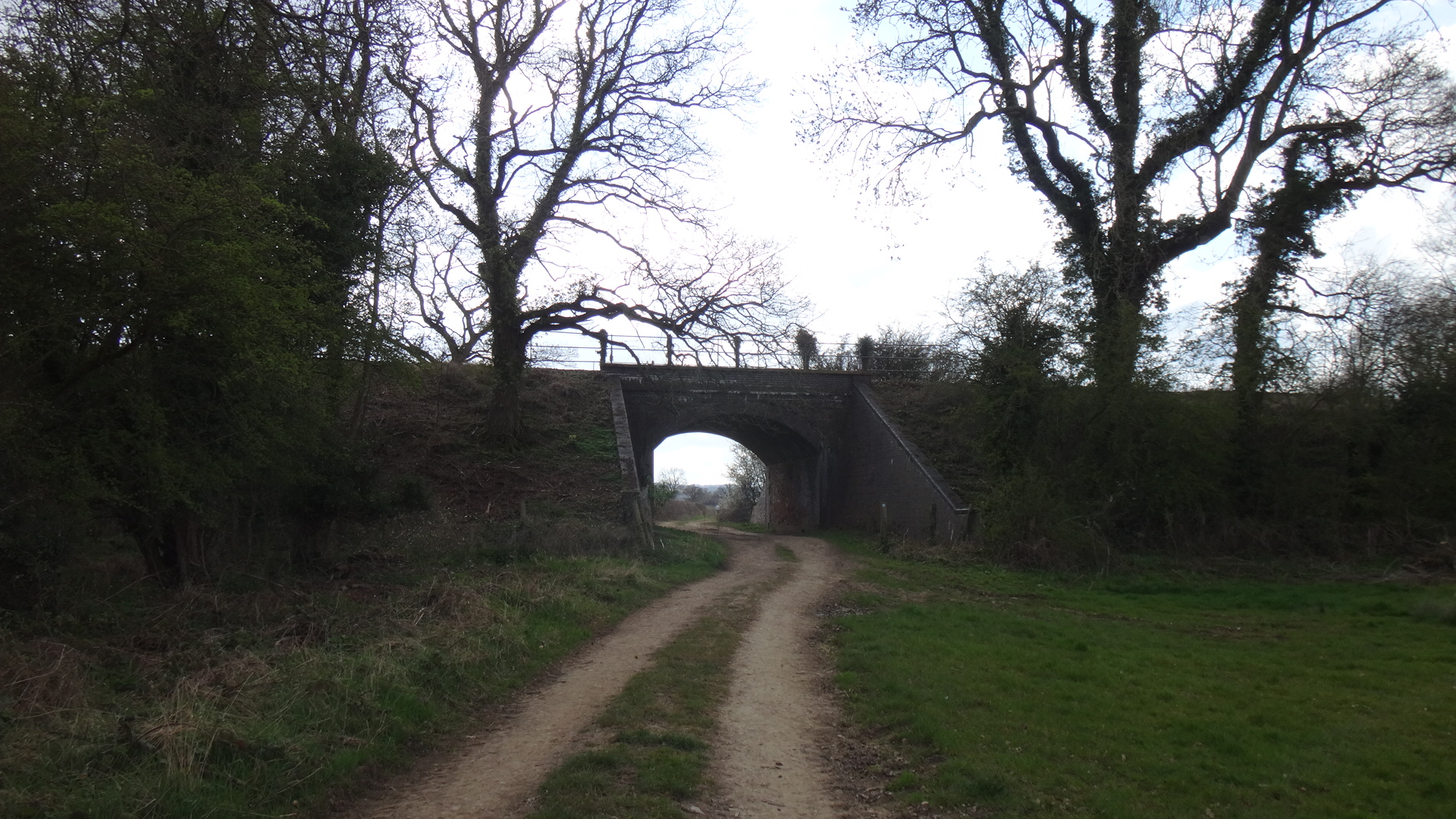
The terrain is around 60/40 road/off-road and lends itself to a gravel or adventure bike with at least 45mm tyres. The road sections are almost entirely small country lanes with a few short sections of B-roads. There are five crossings of the A46 and three are staggered junctions. Fortunately all have verges that can be walked if the road is particularly busy. Apart from those and a few other short sections (<200m) there aren't any significant A roads to navigate.
Some off-road sections are fairly technical and require a moderate level of skill but you can always walk them if needed.
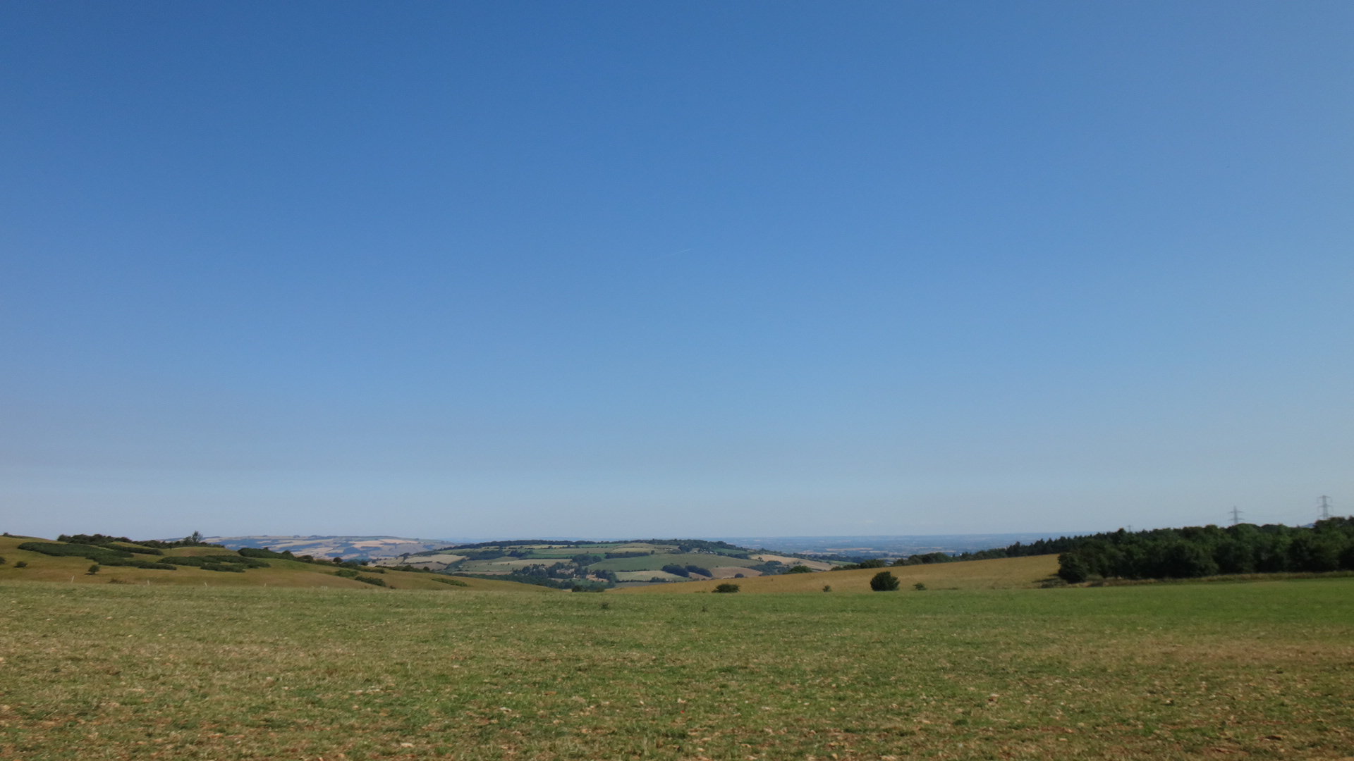
The route is particularly hilly (especially in and out of Bath) so a good level of fitness is recommended.
Photos
Map
Information
When crossing the A46 after Chadwick (16km/10 miles), use the verge if the road is particularly busy. Do the same when crossing it at 25km/16 miles.
Dyrham Park is well worth a visit and also has a cafe.
Dursley has a number of cafes and shops along the pedestrianised section.
Similarly, Stroud has a number of cafes slightly off the route, including the top of the High Street.
To keep the route more rural Cheltenham has been avoided. A 15km/10 mile detour through the town is available here.
In Stow-on-the-Wold, there are a few cafes in the square (which is on the route), and some more down the one-way Digbeth Street.
The route passes between Tetbury and Malmesbury as it goes along the gravel section of the Fosse Way. Both are just under 4km away from the route via the B4014.
Highlights
- Dyrham Park
- Badminton
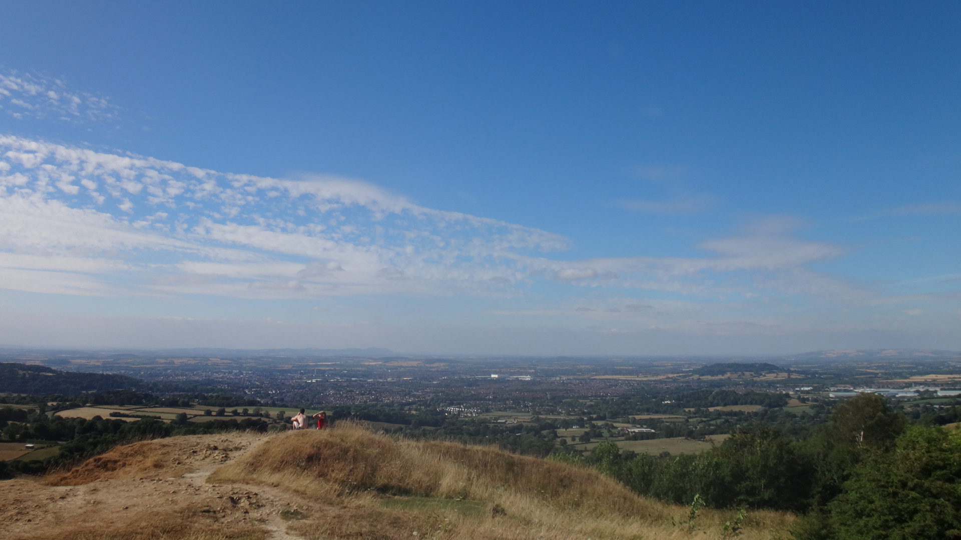
- Nibley Knoll - views across the Severn Valley
- Uley Bury - ancient fort
- Juniper Hill / Bulls Cross - Laurie Lee country - the Woolpack Pub is well worth a visit
- Painswick Beacon
- Leckhampton Hill
- Cleeve Hill
- Winchcombe / Sudeley Castle
- Snowshill
- Broadway Tower
- Chipping Campden
- Hidcote
- Blockley
- Hinchwick Valley - unspoilt valley
- Slaughters
- Bourton-on-the-Water
- Stow-on-the-Wold
- Minster Lovell
- Burford
- Windrush Valley
- Cirencester
- Fosse Way
- Castle Combe
Links
Cotswold.com, Cotswold.org, Cotswold.info, WikiVoyage, Visit Cotswolds, Visit Britain, Visit England.
